
Gusts of 80mph: What Storm Boelo Means for Northern Commuters
Travelers in the north face major disruptions and potential power outages as the second named storm of the season arrives this weekend.
By Isabel Moretti ·
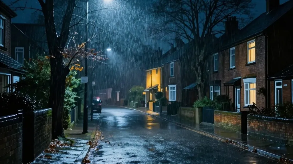
Commuters and residents across the northern United Kingdom should brace for significant travel interruptions and possible utility failures over the next 24 hours. The arrival of Storm Boelo, the second named weather system this season, brings a sharp increase in wind speeds and persistent precipitation. This shift follows immediately after Storm Austen impacted the south-west of England on Friday, a system that is now moving eastward and fading.
The most immediate concern for many households is the threat to electrical stability. Authorities have warned that the power cuts experienced in the south-west could be replicated in the northern regions currently under alert. Data from the National Grid highlighted the severity of the previous disruption, showing that 31,000 homes lost electricity on Friday at peak times. While the number improved to over 3,700 affected properties by Saturday morning, officials are closely monitoring the grid as the new storm intensifies.
Transport networks are already adjusting schedules to minimize risk. Rail operators have issued strong guidance for passengers. TransPennine Express has recommended that travelers limit movement to essential trips only on Saturday and Sunday. Avanti West Coast has taken a similar stance, urging customers to avoid journeys north of Preston on Sunday. Ferry services are also expected to see widespread cancellations or delays, further complicating routes that rely on sea crossings.
Forecasters have issued an amber warning, the second highest level of alert, for Scotland and England north of Carlisle. This alert remains active from 9pm on Saturday until 9pm on Sunday. A separate warning covers the north-east of Northern Ireland, effective from Saturday evening until 10am on Sunday. A broader yellow warning for wet and windy conditions spans the entire northern half of the country from midday Saturday to 9pm Sunday. Additionally, Wales and parts of western and southern England face a specific heavy rain warning from 11am to 11pm on Saturday.
Meteorologist Alex Burkill identified the wind as the primary hazard, noting that gusts will whip across Northern Ireland, northern England, and Scotland. He explained that these conditions will intensify as the day progresses. While temperatures will remain slightly above the seasonal norm, the combination of rain and wind is expected to create an uncomfortable environment. This pattern marks a distinct change from the warmer conditions that characterized much of the recent autumn.
The timing of this storm coincides with a year marked by extreme atmospheric events. The United Kingdom recorded its hottest summer on record this year, which included five distinct heatwaves and a record 40 days exceeding 30C. As the nation prepares for wetter weather, Prime Minister Andy Burnham addressed the growing frequency of such events. Speaking at a summit regarding the summer wildfires, he warned that the country might face a winter characterized by increased flooding. He acknowledged that while the government is not playing catch-up on civil preparedness, unexpected incidents are becoming a more regular part of life.
Source: The Guardian