Tesla's Map Reversal: Fleet Data Solves Vision Limits
Tesla is developing a proprietary mapping system to correct persistent navigation errors in its Full Self-Driving software, marking a strategic pivot from its previous no-map philosophy.
By Isabel Moretti ·
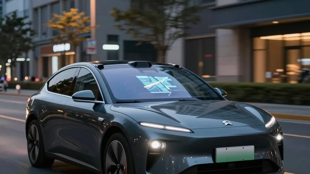
In 2025, a road safety group in Belgium discovered that Tesla’s Full Self-Driving system exceeded the speed limit in 55% of the 30 km/h zones it tested in Brussels. The vehicles averaged 44 km/h in these areas, often because the dashboard incorrectly displayed a 50 km/h limit. This specific failure highlights a broader issue that Tesla is now addressing by building its own maps.
During the Q3 2026 earnings call, Ashok Elluswamy, Tesla’s VP of AI, confirmed that the company is developing a new AI-based mapping and navigation architecture. He stated that the company should not depend on external maps. This internal system will be fed by data collected from Tesla’s existing fleet. The new maps will also learn individual driver preferences and respond to voice commands.
The rollout of this technology will begin with FSD v15. Initially, it will handle the start and end of trips. Over the coming months, the system is expected to take over navigation, parking, and destination handling. This approach allows Tesla to refine its software based on collective fleet learning rather than relying solely on real-time visual processing.
This strategy represents a significant departure from previous corporate messaging. In 2019, CEO Elon Musk argued that high-precision lane maps were a huge mistake that made self-driving systems brittle. He dismissed the use of lidar and detailed maps as unnecessary for a system based on cameras and AI. For years, Tesla maintained that its vision-only approach could solve driving problems anywhere without the need for pre-mapped data.
The new map layer addresses specific gaps in the current vision system. Speed limits, parking logic, and route selection remain areas where the software frequently struggles. In the United States, the NHTSA is currently weighing an investigation into claims that Tesla Robotaxis speed through active school zones. This review covers approximately 1,000 Model Y and Cybercab vehicles.
The operational model for these maps closely resembles the methods used by competitors like Waymo. Both companies use their fleets to collect data that informs a central map, which then improves driving performance for the entire network. The primary difference lies in the sensor hardware, as Waymo utilizes lidar while Tesla relies on cameras. Tesla is not currently creating centimeter-level HD maps, but the ongoing data collection suggests the maps will become increasingly detailed over time.
This development aligns with Tesla’s current Robotaxi operations, which function within specific geofenced areas. By integrating fleet-built maps, Tesla aims to reduce reliance on third-party navigation data. The initiative is designed to make the driving system more reliable by ensuring it has accurate environmental context, particularly for complex urban scenarios that challenge pure vision-based algorithms.
Source: Electrek · original report published