Rain and storms expected to hit Alabama before Friday cooldown
A weather system bringing showers and gusty winds arrives Tuesday night, followed by a sharp drop in temperatures by the weekend.
By Lucy Lefebvre ·
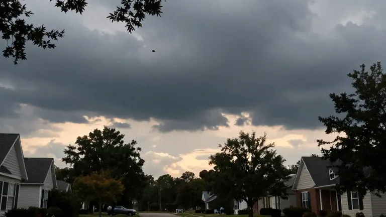
Birmingham, Alabama residents will face a shift in weather patterns this week as a line of showers and storms moves through the region. The system is expected to arrive Tuesday evening, bringing rain and the possibility of thunderstorms to western counties before spreading across the state overnight. Meteorologists at WBRC noted that while the severe weather threat remains low, isolated thunderstorms cannot be entirely ruled out.
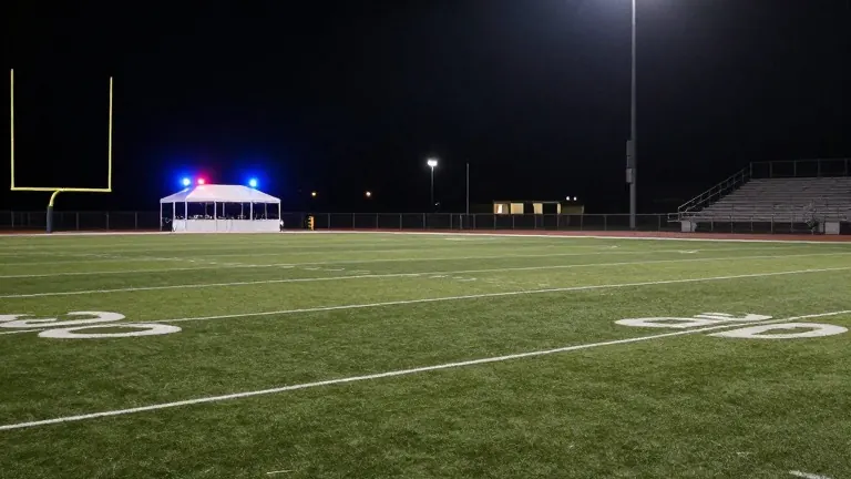
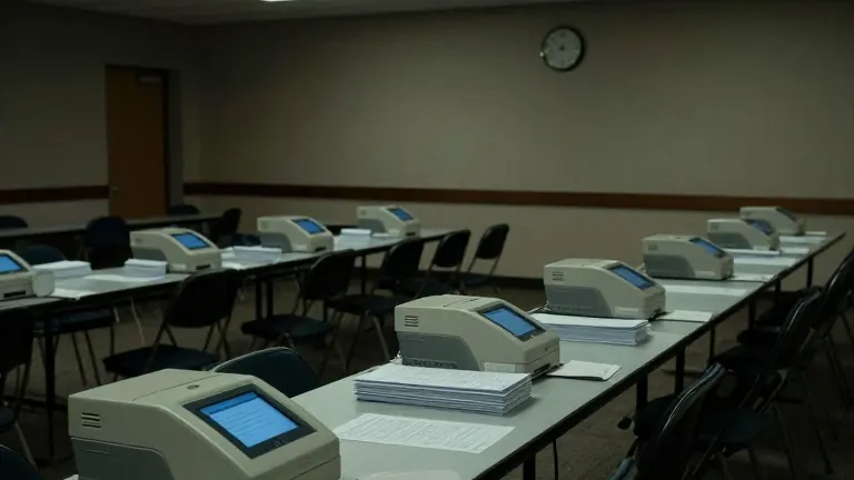
The timing of the storm system coincides with Election Day. Most of Tuesday will remain dry, allowing voters to head to the polls without weather interference. However, the weather pattern changes in the late evening hours. Winds will increase ahead of the system, with gusts reaching speeds between 20 and 30 miles per hour. The rain is expected to linger in some areas if the system moves slowly across the state.
This week began with cloudy skies and scattered showers in Central Alabama. The heaviest precipitation remained north of the region on Sunday. Daylight Saving Time ended on Sunday morning, shifting sunset times to approximately 4:55 p.m. Temperatures on Sunday evening settled in the upper 50s and low 60s. Monday offers a drier break with a mix of clouds and sunshine, while highs reach the mid-70s.
Tuesday presents a similar dry afternoon, providing a final warm day before the new system arrives. The rain associated with the incoming weather pattern should conclude by Wednesday evening. A few isolated showers may persist into early Thursday. The primary concern for forecasters is the speed of the system, as slower movement could result in heavier rainfall lingering in specific counties.
A second cold front is forecast to move through the state on Friday. This front will bring significantly cooler air to the southeast. Unlike the Tuesday system, the Friday front is expected to remain dry. High temperatures will drop to the upper 60s, while overnight lows will fall into the low to mid-40s. This temperature drop will mark a return to typical November conditions by the weekend.
Residents are advised to monitor local updates as the weather system approaches. The forecast indicates that the initial storm activity will be brief, but the subsequent cold front will sustain the cooler temperatures for the coming days. The combination of Tuesday night storms and Friday cooling creates a distinct shift in the weather pattern for the remainder of the week.
Source: WBRC FOX6